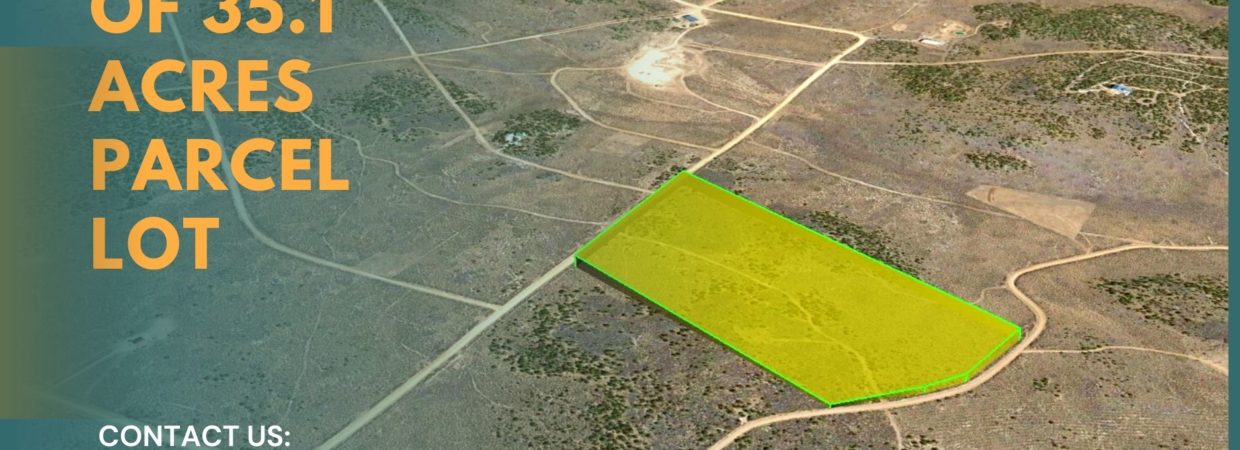
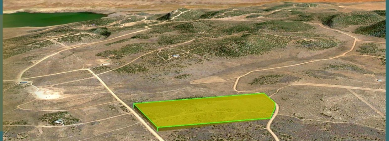
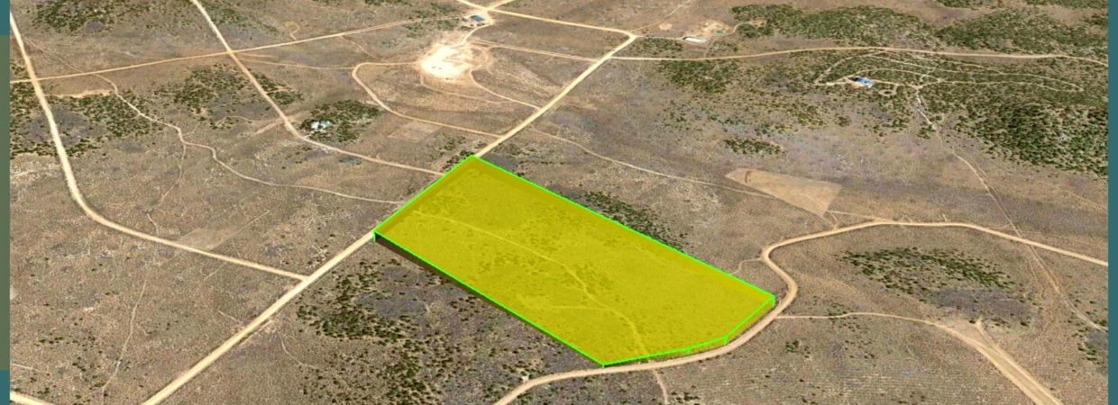
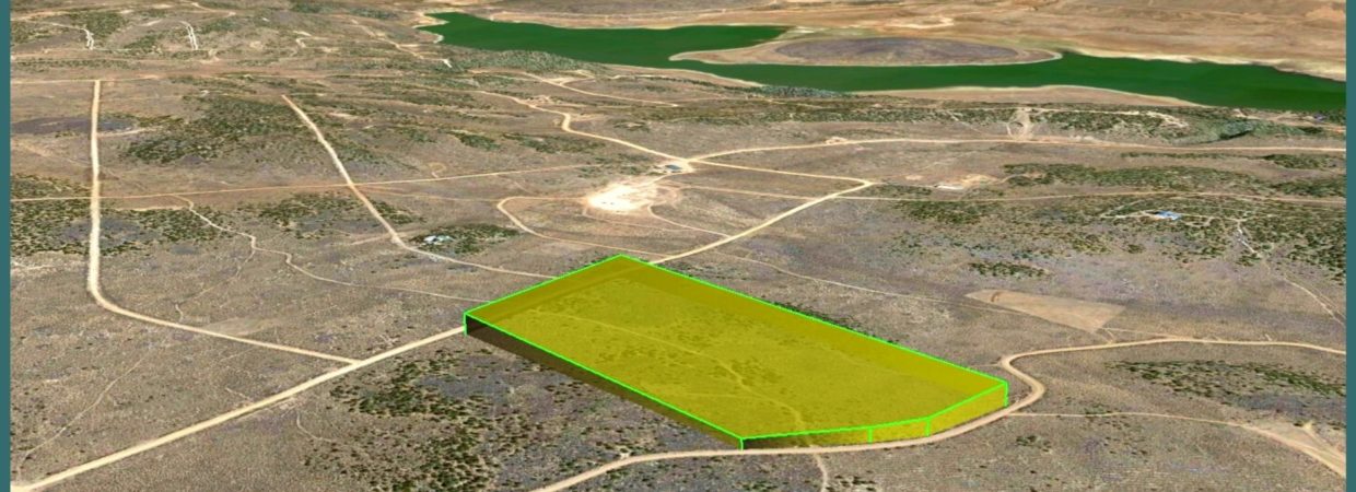
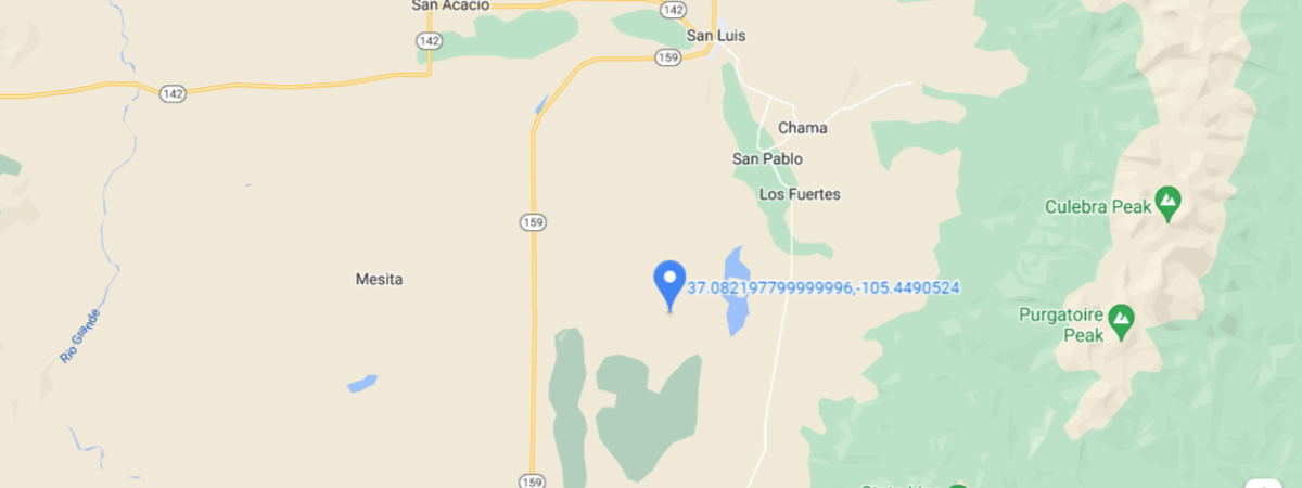
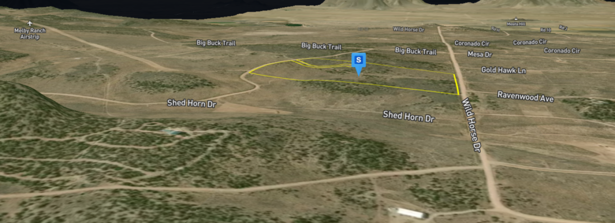
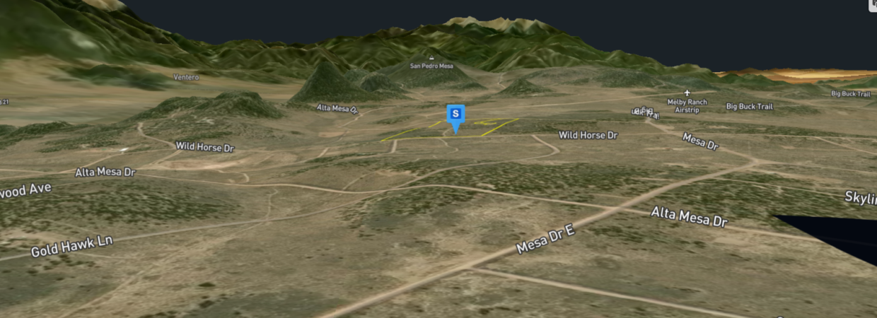
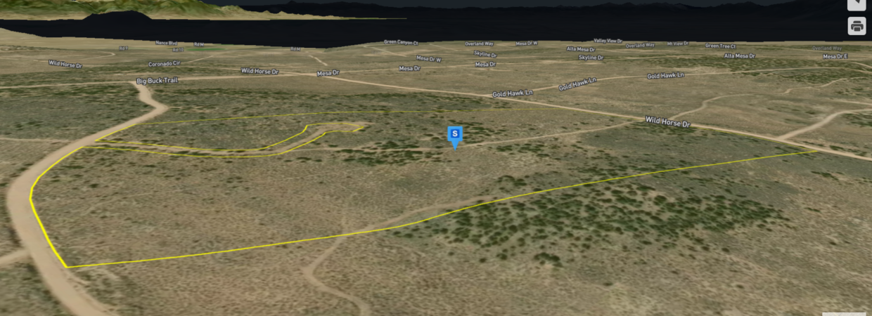
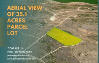
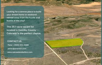
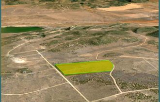
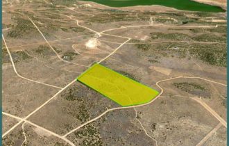
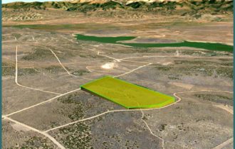
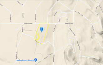
35.1 Acres in Costilla County, CO.
Payment Options
Payment Note(s)
CASH
Description
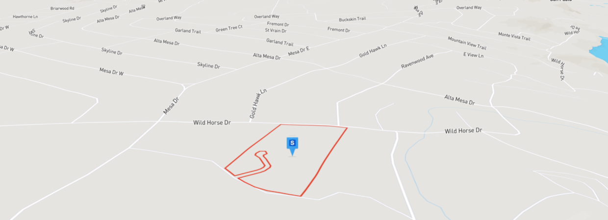
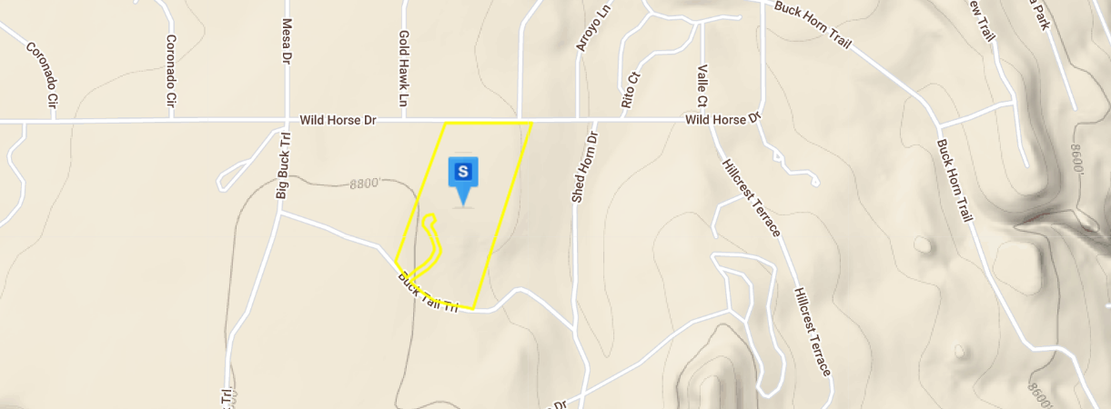
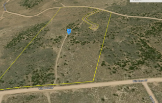
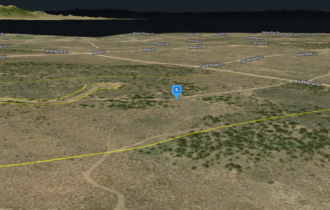
35.1 Acres in Costilla County, CO.
Don’t miss out on this incredible opportunity to own land in Costilla County. This parcel is zoned for Resource Conservation, which allows for a diverse range of uses, including agriculture, natural resource development, industrial, recreational, and residential. Take advantage of this chance to view the property today and make an offer to secure your own piece of paradise.
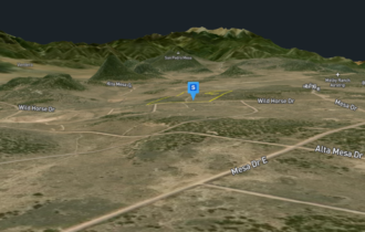
If you’re in search of breathtaking views and ample opportunities for outdoor activities, this property is the perfect escape from the stress and chaos of city life. Bring your loved ones and immerse yourself in the pleasures of camping, hiking, fishing, and even hunting. You could even build an off-grid cabin and make this your permanent sanctuary or the ultimate family getaway. Seize this opportunity to create unforgettable memories in the great outdoors.
Selling As-Is. Buyer to do their own Due Diligence before reserving.
Property Information
Parcel Size
35.1
State
Colorado
County
Costilla
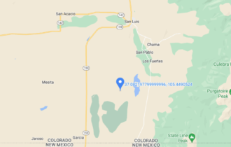
Nearest Cities
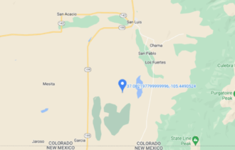
San Luis
Parcel Number
XXXXX250
Features
Acres
35.1
County
Costilla
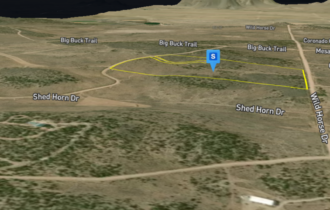
Access
Dirt Road
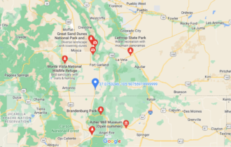
Coordinates
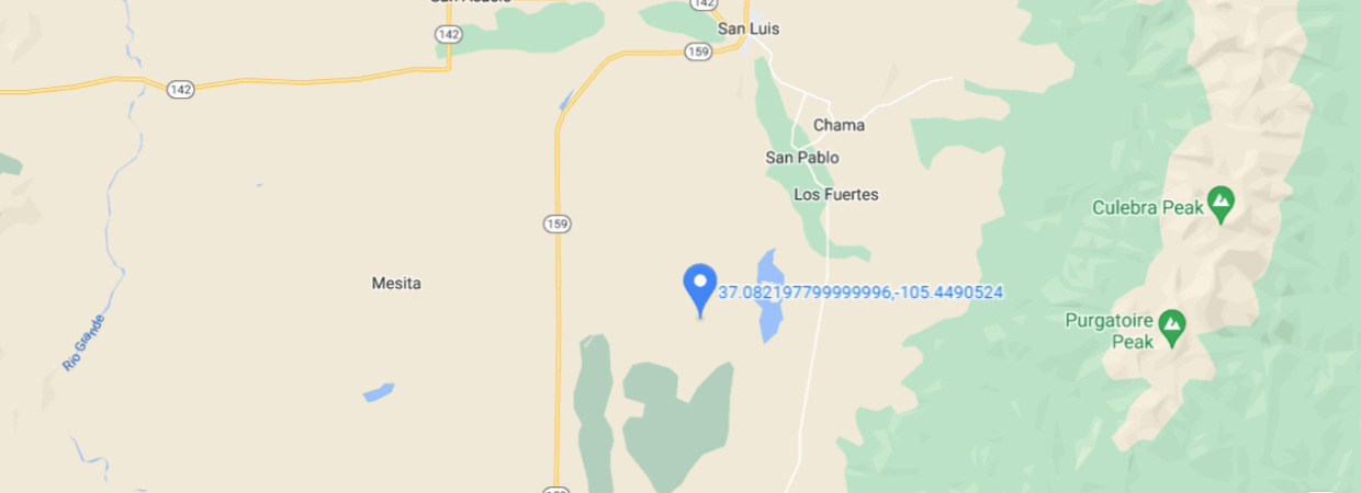
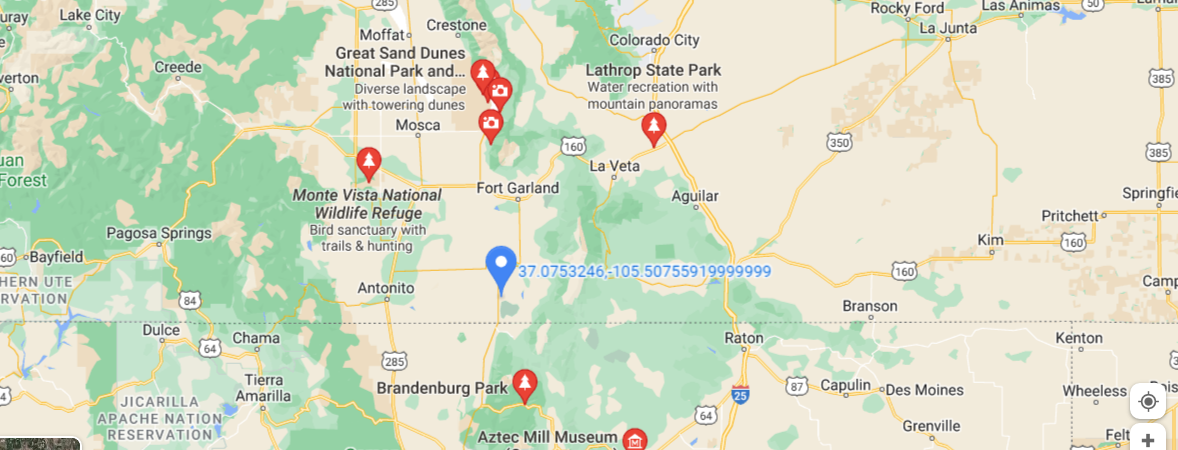
37.082198, -105.449052
Purchase Information/Fees
Document Fee
An additional fee of $399 to reserve the property is required to begin the purchase process. This is a non-refundable fee.
Nearby Attractions/City
Spanish Peaks Wilderness
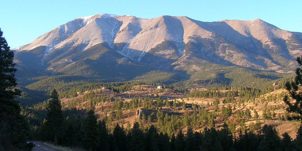
The Spanish Peaks Wilderness, named after its most prominent feature, is a place of significant geological and historical importance. This wilderness area, which is managed by the US Forest Service, is contained entirely in Colorado and covers an area of around 19,000 acres.
The Spanish Peaks are two mountains that are distinguishable primarily by their elevation. The West Spanish Peak is slightly taller than the East Spanish Peak, reaching over 13,000 feet compared to the East’s approximate height of 12,700 feet. However, the difference in elevation is barely noticeable, and most visitors view them as a pair at all times.
.
Fort Garland
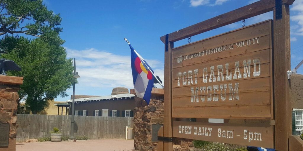
Fort Garland, Colorado, United States, was designed to house two companies of soldiers to protect settlers in the San Luis Valley, then in the Territory of New Mexico. It was named for General John Garland, commander of the Military District of New Mexico.
Zapata Falls
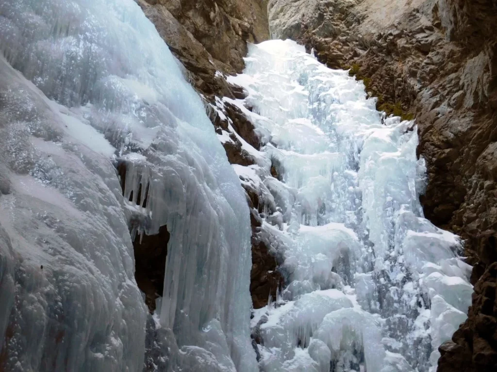
Zapata Falls is a waterfall located in the San Luis Valley near the base of the Sangre de Cristo Mountains on Bureau of Land Management land adjacent to Rio Grande National Forest and south of Great Sand Dunes National Park and Preserve in Alamosa County, Colorado.[3] The waterfall has a drop of about 30 feet (9 m). Access to this waterfall entails a mildly steep 0.5-mile (800 m) hike. Viewing the falls requires fording the stream and climbing rocks.
Great Sand Dunes National Park and Preserve
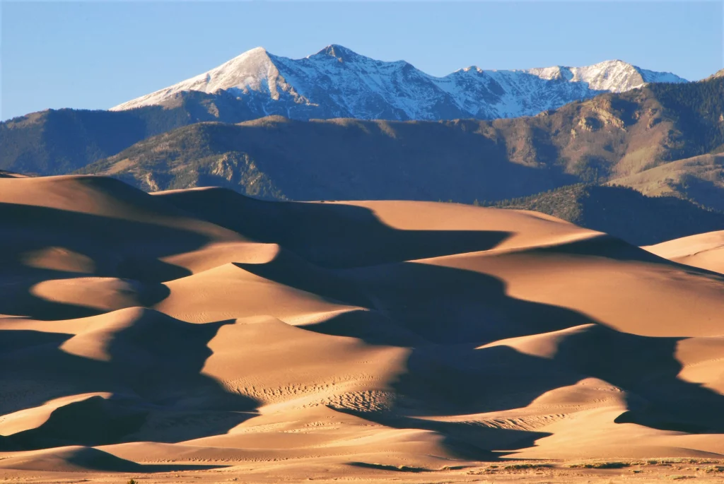
Rest assured, there is plenty of sand to go around for everyone at the Great Sand Dunes National Park. As a popular destination for travelers and explorers from all over the world, the park can become quite crowded at times, especially during the summer months. However, by checking out historical visitation trends at the park, you can make the most out of your visit. Typically, early mornings and late afternoons on weekends tend to be less busy than midday, and weekdays overall tend to be less crowded than weekends.

